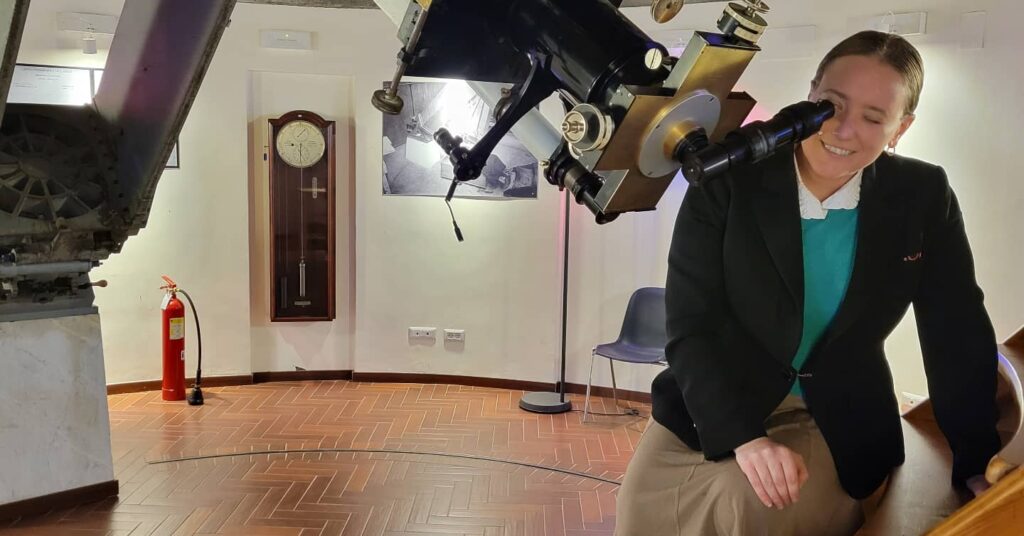
Molly Burhans presented Catholic Cartography Across Time as a small guest lecture to the Vatican Observatory, where she discussed her work as the chief cartographer behind the first known global, digital maps of ecclesiastical jurisdictions. She also covered the digitization and mapping of data from the Vatican Statistics Office, along with the development of data-driven systems that supported mapping the Gregorian and General Roman Calendars in an interface that expanded the geographical mapping of the Catholic Church to include animated temporal dimensions. Modern cartography in the Catholic Church emerged from a rich history of mapmaking at the Vatican, deeply connected to the origins of the Vatican Observatory and the co-development of the Hall of Maps and the Tower of the Winds.
